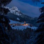
 Webcam
 Weather
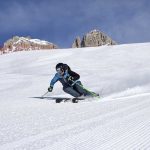
 Lifts
Lifts Bike Trail
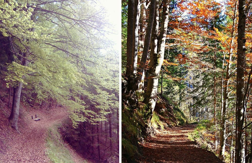
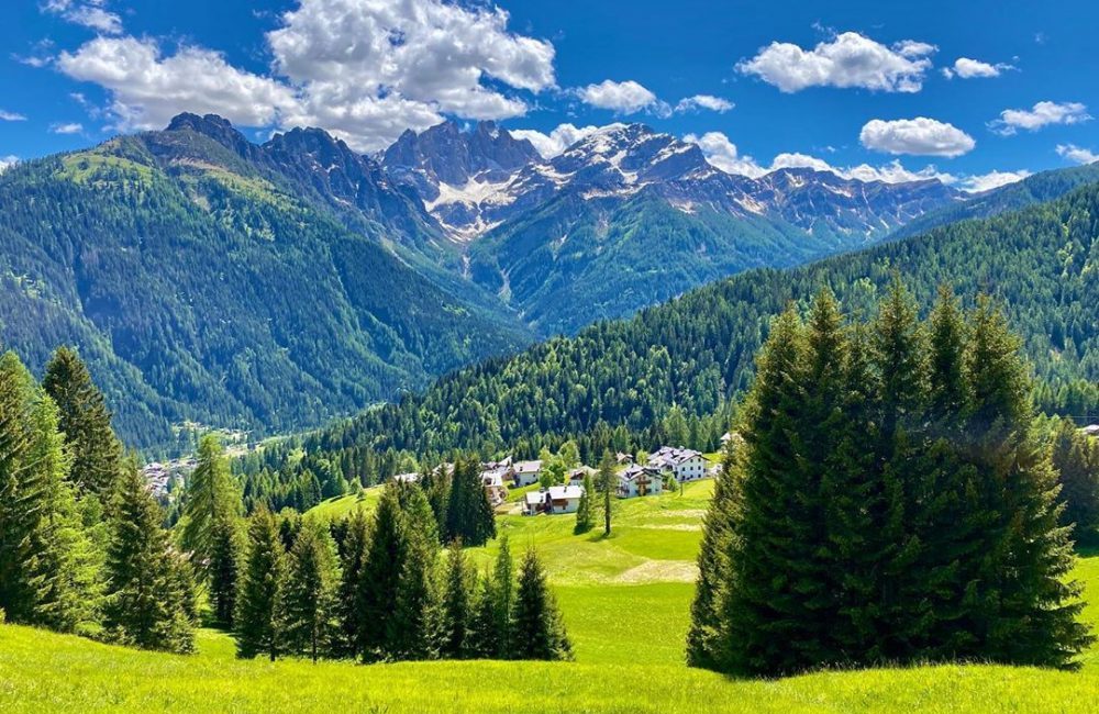
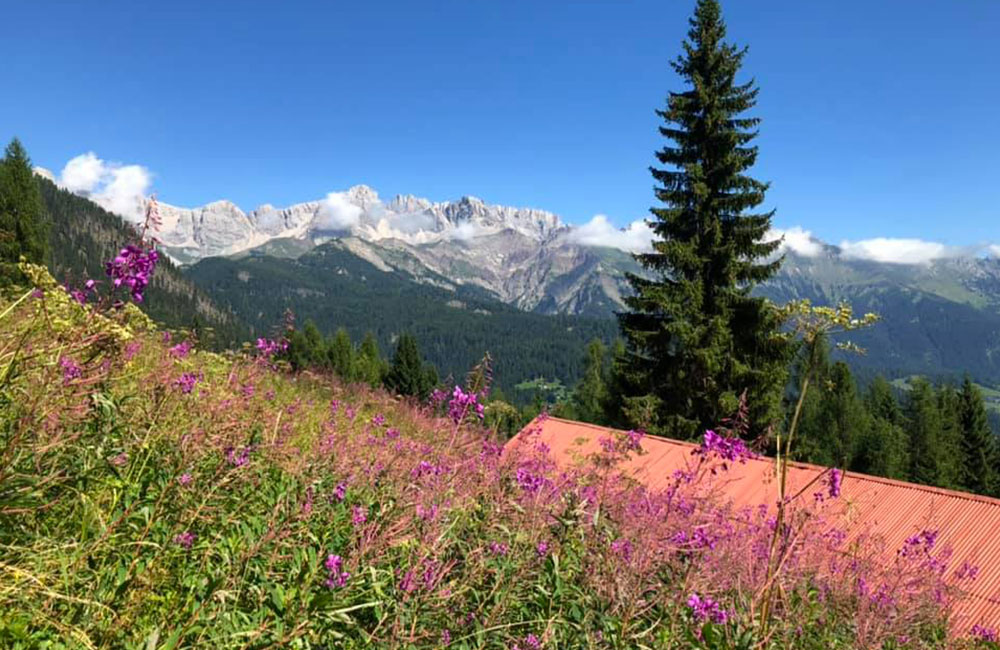
Walks and hikes around Falcade and Val del Biois
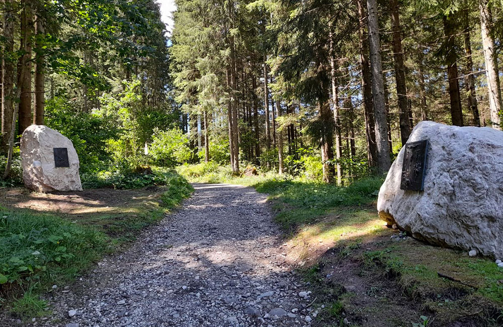
LA CAVALERA WALK AND POPE ALBINO LUCIANI STATIONS OF THE CROSS ROUTE
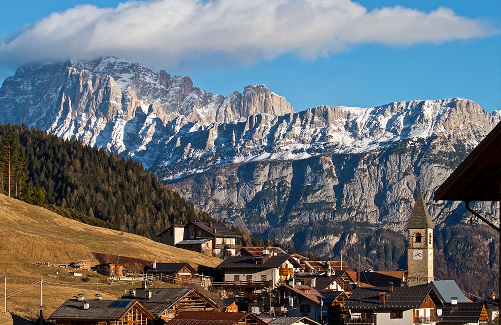
From the Falcade Plain to Canale d’Agordo
The route starts out from the little lake on the Falcade Plain, runs alongside the Biois stream and leads to Canale d’Agordo in about an hour and a half.
The route is mostly flat and is suitable for everyone.
On the last stretch, near Canale d’Agordo, the birthplace of Pope John Paul I, you can admire the Stations of the Cross sculpted by the Falcade artist Franco Murer and dedicated to the “Smiling Pope. Length approx. 4.5 km
GIRO DELLE COSTE WALK
Round-trip walking route in the Falcade area
This classic round-trip walk starts out from the centre of Falcade and heads towards Tabiadon di Canes, at an altitude of 1238 m. It climbs up towards the little village of Maso delle Coste (1285 m) from which the Coste path begins towards Somor (1373 m), where it goes down towards Falcade Alto (1302 m), followed by Villotta and Col de Rif, before returning to the centre of Falcade. The route is marked all the way along.
This walk may take as long as half a day.
Center of Falcade
Center of Falcade
from 2.5 hours to half a day
Medium-Easy

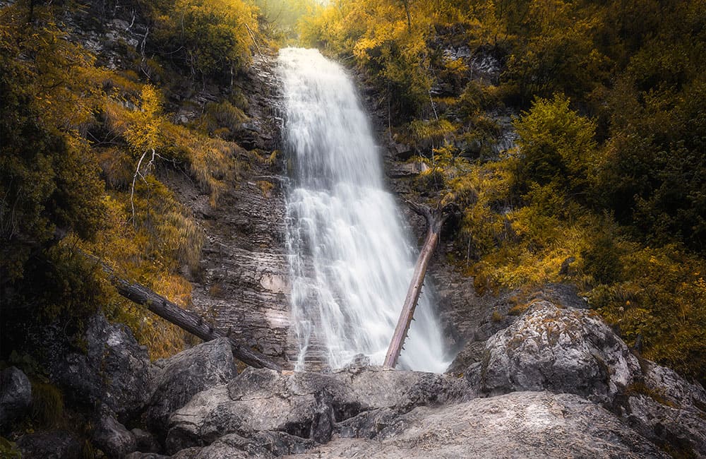
WALK TO THE BAREZZE WATERFALL
Da Sappade alla Cascata delle Barezze
The route sets out from Sappade (1350 m). From here, head towards the left of the village and continue along an easy walk to the Barezze Waterfall (1400 m).

WALK TO JORE
From Sappade to Maso di Jore
his route starts out from Sappade (1350 m) and heads towards the left of the village along path no. 692, initially steep before continuing along mainly flat ground. About an hour and a half’s walk will take you to the Maso di Jore farmstead, made up of a little church, an oven for baking bread and the guardian’s house. The path continues through the woods, with a few open stretches offering beautiful views. Round-trip option possible back to the village of Sappade.
Sappade
Jore /Sappade
Round trip from 2/3 hours up to half a day
Medium
FEDER-FREGONA-CARFON WALK
From Feder to Carfon
A walk through the characteristic neighbourhoods of Feder (1267 m), Fregona (1268 m) and Carfon (1156 m), linked by a convenient secondary/forest road with no cars.
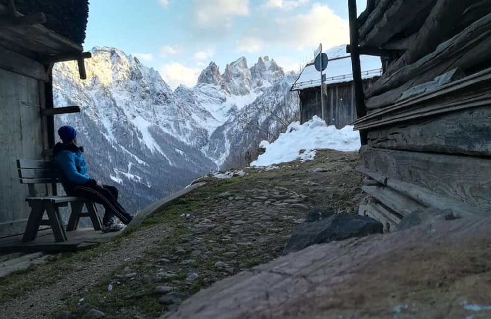
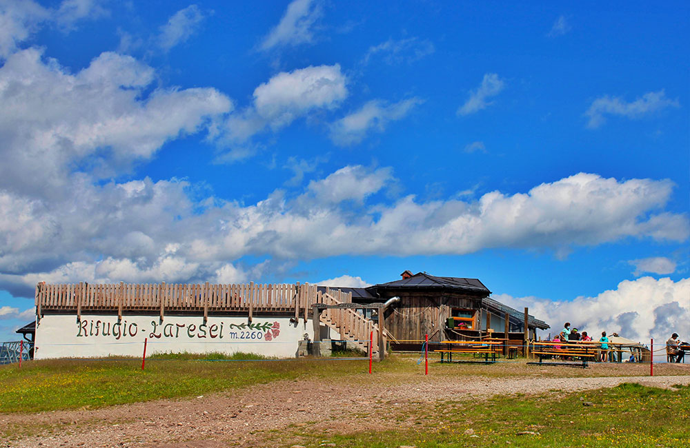
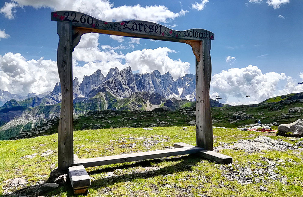
WALK TO THE LARESEI REFUGE
From the Valles Pass to the Laresei Refuge
The route starts out from the Valles Pass, at an altitude of just over 2000 m, where you can leave your car. Take path no. 658 on the right. This very clearly marked dirt road leads, in roughly an hour, to the Laresei Refuge, at an altitude of 2250 metres.
The route runs out of the woods the whole way, offering spectacular views on all sides.
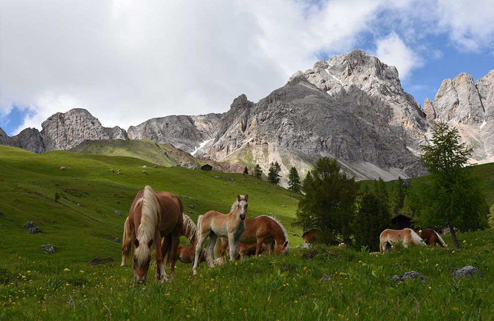
Some of the stretches are steep, but it is not particularly challenging on the whole, and is also suitable for children, who will enjoy watching the cows and horses grazing in the fields.
Once you reach the Refuge, you’ll find other routes that lead to the Cavia Lake just a little further down; or you can head further down to the San Pellegrino Pass, from where you’ll need a car or other vehicle to make your way back.
Valles Pass 2000 meters
Laresei Refuge 2250 meters
1 hour to reach Laresei Refuge
Trekking shoes and sports clothing, backpack, sunscreen.
.
Medium- Easy
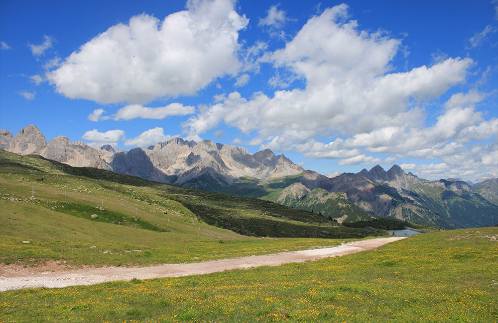
VALFREDA-FUCIADE WALK
From the Flora Alpina Refuge to the Fuciade Refuge
The route starts out from the Flora Alpina Refuge (1800 m), goes up a small slope and heads right into the fabulous landscape of the Valfreda, a lush, green area of the San Pellegrino Pass that lies entirely within the municipality of Falcade (Belluno), and its “Casoni”, little shepherds’ shelters that have recently been turned into delightful mountain huts for walkers in this natural paradise, nestled on green meadows framed by the splendid rock cathedrals of the Dolomites.
Continue along the trail marked no. 670 to Fuciade (1982 m), in the municipality of Soraga (Trento); from here, you can return along the woodland road.
If you enjoy walking through an unspoilt mountain landscape, you can easily reach the Flora Alpina Refuge and the Valfreda from the Falcade valley bottom, by taking the mule tracks that climb up towards Falcade Alto; from here, you can reach Le Fratte and then the mule track that takes you fairly easily through beautiful scenery up to the refuge, in about an hour and a half / two hours.
Baita Flora Alpina 1800 m
Fuciade 1982 m
3 ore circa
Trekking shoes and sports clothing, backpack, sunscreen.
Medium- Easy
WALK TO THE BOTTARI REFUGE
From the Eden Campsite in Molino to the Bottari Refuge
This walk starts out from the Eden Campsite in Molino (1100 m). The route is a little challenging due to the continual slopes and the altitude difference of approx. 373 m. Most of the route runs along a well beaten path through woodland. It takes about an hour and a half to reach the small Bottari Refuge (1573 m), managed by the Italian Alpine Club of Oderzo. From here, you might like to continue on towards the Valles Basso alpine hut (1771 m) and then back down towards the start of the route in Molino.
Eden Campsite 1100 m
Bottari Refuge 1573 m
About 1hour and a half
Trekking shoes and sport clothing
Medium- easy
VALFREDA–MALGA AI LACH-FLORA ALPINA ROUND-TRIP WALK
From Col De Mez to the Baita Flora Alpina mountain hut
Round-trip route. It is advisable to start out from Col de Mez, where you can leave your car.
Continue on amid the little shepherds’ shelters of Valfreda (1850 m). In about half an hour, the beaten path no. 691 will take you to Malga Ai Lach (1815 m).
The return route runs initially along a stretch of path 691 before taking the 694 woodland road for approx.
2 hours back to the Baita Flora Alpina mountain hut at an altitude of 1818 m
Col de Mez
Baita Flora Alpina mountain hut
From 4 hours to the whole day
Trekking shoes ans sport clothings
Medium
VALT–MALGA AI LACH WALK
From Col De Mez to the Baita Flora Alpina mountain hut
To reach Malga ai Lach , you can also set out from Valt (1300 m a.s.l.), where you can leave your car in the small parking area next to the little church. Once you leave the last houses of the village behind, head straight into the woods.
The route has a number of rather challenging, steep, slippery stretches, so adequate footwear is essential, but overall, it is not particularly tough.
Roughly halfway along, you might like to stop at the little lookout point created to admire the view to your right of the spectacular Catino delle Marmolade basin.
The route runs mainly along a woodland path, with a few stretches of dirt road, and leads to the characteristic little Malga Ai Lach mountain hut (1815 m) in about an hour and a half.
Fraz. Valt
Malga Ai Lach
1 hour and a half
Trekking shoes and sport clothings
Medium- Easy
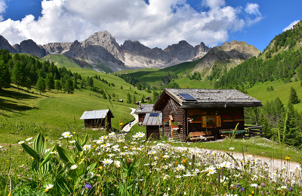
WALK TO MALGA STIA
From the village of Gares to Malga Stia
The route starts out from the characteristic village of Gares (1381 m), and leads, in about an hour, to the little Malga Stia mountain dairy hut (1785 m), where you can have lunch, stay overnight and purchase some of the products made there. The route runs along a fine beaten road, with some rather steep, challenging stretches.
Once you reach the hut, the views on all sides are truly spectacular.
.
Village of Gares
Malga Stia 1785 m
About 1 hour
Trekking shoes and sport clothings
Medium Easy
WALK TO THE COMELLE WATERFALLS IN VAL GARES
From the Baita Cima Comelle mountain hut in Valle di Gares to the Comelle Waterfalls
The route starts out from the Gares Valley, about 7 km from Canale d’Agordo.
Park in the parking area of the Capanna Cima Comelle Refuge, and head towards the Comelle waterfalls, marked on path 704.
The lower waterfall is quite easy to reach along a clear path, while the path to the upper waterfall is more challenging. The route takes about 45 minutes up to this point.
From here, you can make your way towards the characteristic village of Gares and from there back to your car.
Capanna Cima Comelle Refuge
Cima Comelle waterfall
About 45 minutes
Medium
Download our brochure
Discover other itineraries for walks and excursions in the Agordo Dolomites.