 Webcam
 Weather
 Lifts
Lifts Bike Trail
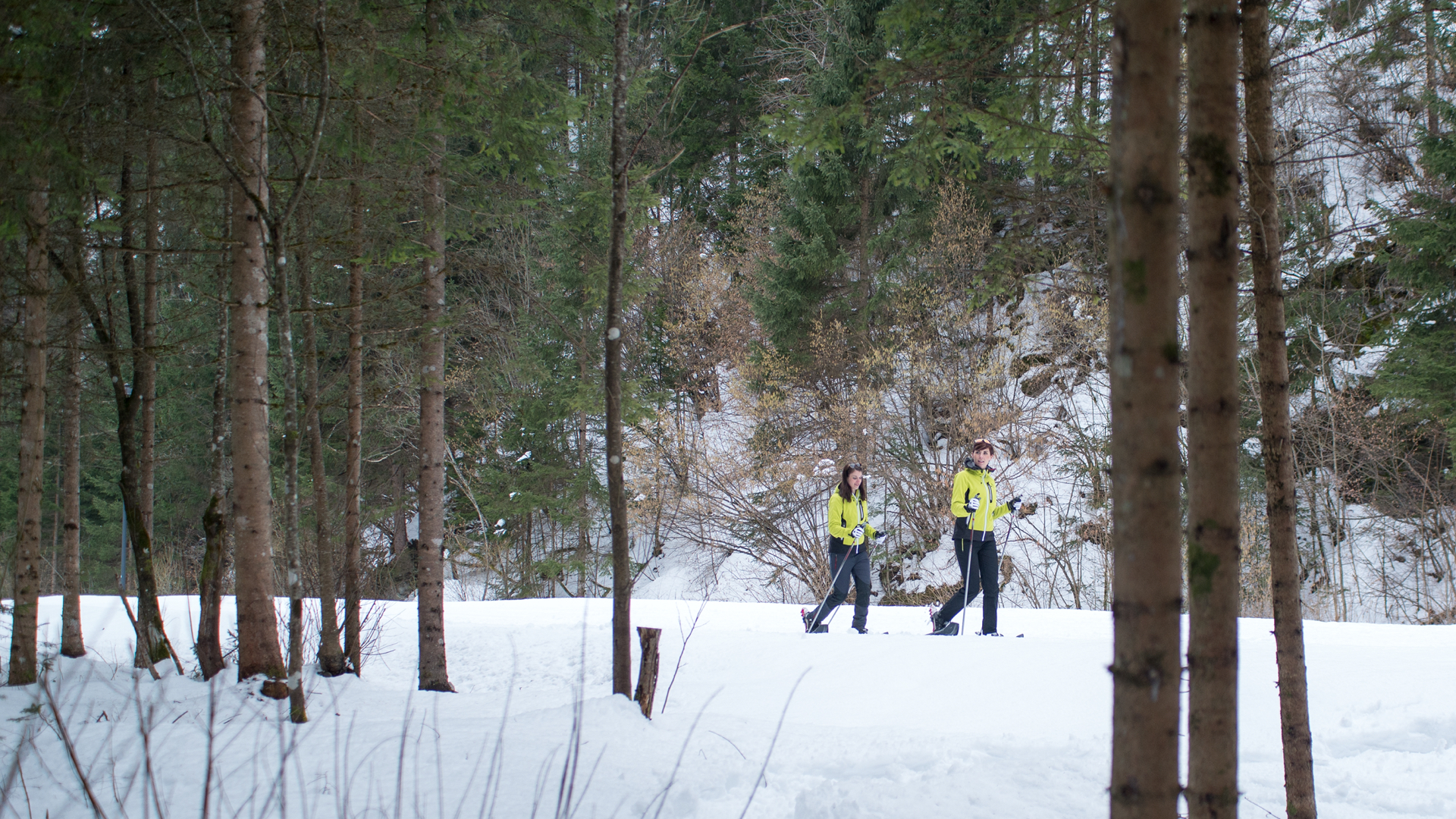
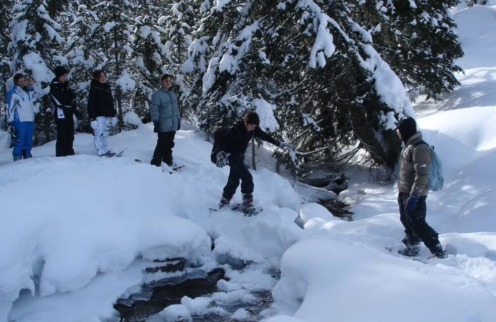
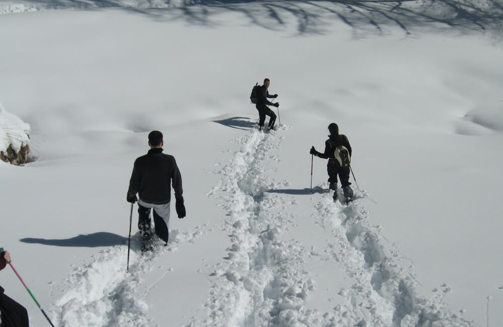
Snowshoe itineraries
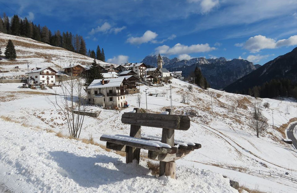
Valles Pass
Location: The Valles Pass (2031 m) is a natural mountain pass between the Biois Valley, in the Veneto region, and the Val Travignolo, in the Trentino region.
General programme: Easy trip. Leave your car in the Valles Pass parking area, and head towards the groomed run for about 200 metres, then to the slopes on the left that will take you into a valley that leads to the Malga Vallazza alpine hut. Continue along a slight slope northwards, until the valley narrows. At this point, cross diagonally towards the right along easy slopes back to the departure point.
A very easy route can also be followed, following the groomed trail. Once you reach the Forcella di Pradazzo saddle, turn right and go back up the slope, walking off the side of the run to the Laresei Refuge, where you can stop for a typical lunch, or just a beer.
Col de Mez and Valfreda
Locatioin: The San Pellegrino Pass (1950 m) is a natural pass between the Biois Valley, in Veneto, and Moena in Val di Fassa, Trentino.
General Programme: This is an easy trip for beginners who like to get out and about in the fresh air, and also enjoy good food. Leave your car in the parking area of the Baita Col de Mez mountain hut, and go towards the hut through clearings with fir and larch trees for about 200 metres, before heading into the woods on the left and into the Valfreda. Continue on through the woods until you come to a path that leads into the upper part of the Valfreda, with its characteristic mountain huts, and then to the Flora Alpina Refuge, from which you can return to the departure point.
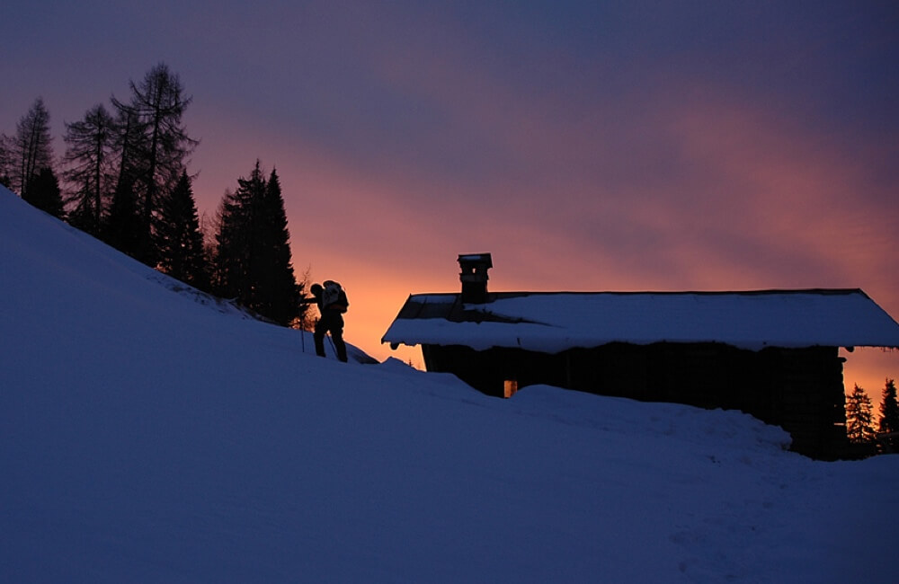
Juribrutto Bivouac
Juribrutto round-trip route: between the Veneto and Trentino regions
Location: this peak in the Dolomites is part of a modest group of mountains located between the Val San Pellegrino and the Val Travignolo, and includes the San Pellegrino and Valles passes, both at an altitude of 2000 m.
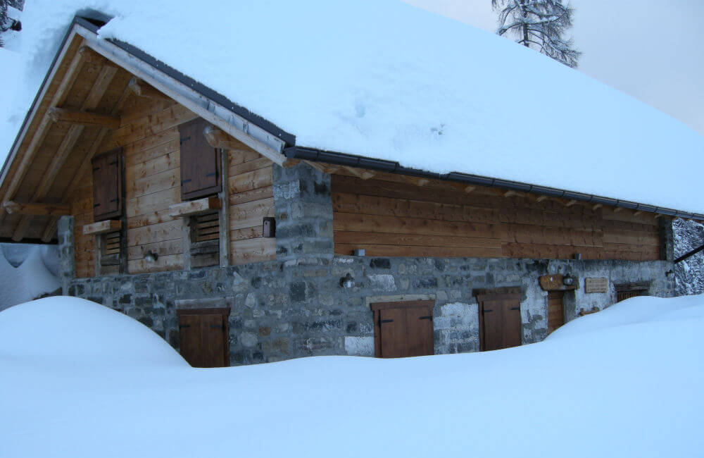
General Programme: this is an extremely satisfying round-trip route that can be tackled in both directions. The departure point for this trip is the Malga Vallazza alpine hut (1953 m), an attractive rural building used in the summer for the cows grazing on the mountain pasture.
The first stretch runs along a flat forest trail, through beautiful fir wood, and leads to the Malga Juribrutto alpine hut. From here, it goes up into a large valley until the Juribrutto lake, at an altitude of 2207 m, in an enchanting, sparse environment, from where you can return to the departure point..
Gares – Malga Stia – Municipality of Canale d’Agordo
General Programme: From the neighbourhood of Gares, continue along the forest road that leads to the Malga Stia mountain hut (the agritourism service is provided in summer only). From here you can enjoy impressive views of the outline of the 1800-metre-high north edge of the imposing Monte Agner. The path is located in the middle of the alpine reserve, so you may catch a glimpse of some of the fine wildlife of the Alps, such as chamois, deer and ibex, as well as the golden eagle.
When you reach the mountain hut, the blackish banks of lava strike a contrast with the sheer white limestone walls of the north face of the Focobon.
Malga Pianezza – Municipality of Vallada Agordina
General Programme: Easy trip for those who enjoy exercise outdoors. From Vivaio Piccolet
Take the mule track. When you come to the fork, you can go straight on to the Tabià de le Casele, or keep right along path no. 684, which leads to the Baita Pianezza mountain hut. The path leads into the woods; when you come out of the woods, there are picture-postcard views to be enjoyed: the sun-kissed Baita Pianezza mountain hut stands out against the white landscape, with the mountains behind it dusted with snow. Put your backpack down on the table outside and look southwards to admire the fantastic views of the Biois and Gares valleys, as well as the Pale di San Martino and Monte Agner.
Sappade-Sappade round-trip route
General Programme: Round-trip route at the valley bottom, running mainly through Norway spruce and larch wood, with departure and arrival in the little village of Sappade.
This route takes you to the old Jore farm, a historical self-sufficient settlement. The farmhouse dates to the late 18th century and has been partially renovated. The route is easy, and is particularly recommended after a recent snowfall, even though the signs are practically non-existent.
Description: the itinerary begins at the eastern edge of the village of Sappade, where you take the path for the Casoni de le Val. After an initial uphill stretch, the path goes straight into the woods, and continues slightly downwards, past a few ruins of sheds once used for storing hay, to Pian de la Stua. On the left, take the forest road, which after an uphill stretch reaches the large Jore clearing (with views over Monte Civetta, the Cime dell’Auta peaks and the northern chain of the Pale di San Martino). From Jore, continue westwards towards the western edge of Sappade (Meneghina), after crossing a slight saddle (Forzèla) and a steeply downhill final stretch.
Possibility of lunch at the Piccola Baita Agritourism in Sappade.