 Webcam
 Weather
 Lifts
Lifts Bike Trail

WALKS AT ALTITUDE
TREKKING ITINERARIES – ALTA VIA DEI PASTORI
Established in 1982, thanks to an idea by Bepi Pellegrinon, this round-trip route offers breath-taking views, running amid the pastures and the mountain dairy huts of the Val del Biois, along the ancient shepherds’ trails.
The itinerary has recently been comprehensively revalued and extended by the Municipal Council of San Tomaso Agordino, which has mapped out the routes and extended them into the municipality.
The Alta Via dei Pastori is a walking route through the mountains that surround the Val del Biois.
The itinerary presents no particular difficulties, and offers the chance to walk through the heart of centuries-old woodland and to frequently encounter the local wildlife. It climbs up to high-altitude mountain pastures, where a series of dairy huts have remained as a testament to the farming activity that has traditionally been a source of income that has bound the local valley folk closely to their homeland.
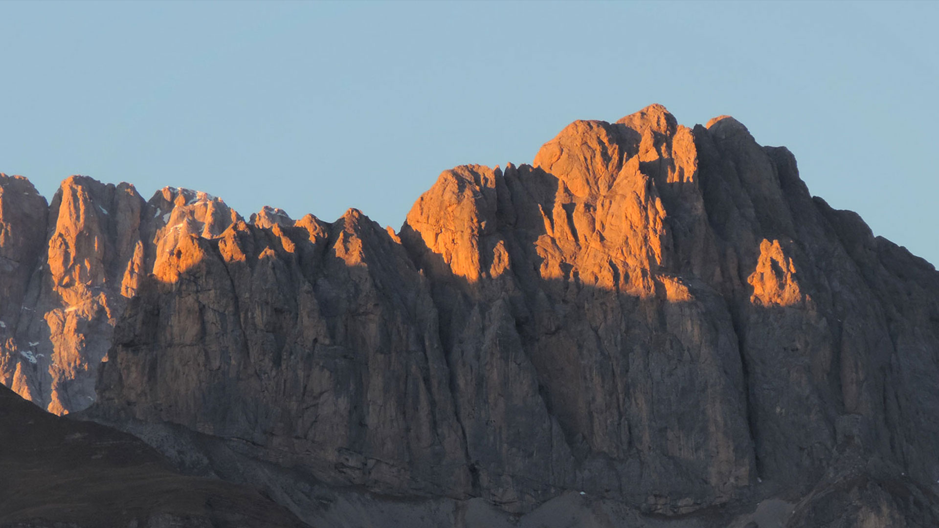
Along the way, you can admire some of the most famous peaks in the Dolomites, which have always attracted mountaineers from all over the world, including the Marmolada, Civetta, Agner, Focobon and Cime d’Auta, as well as the Tofane and the Cristallo in the distance.
Before embarking on the tour, we strongly recommend checking with a guide to ascertain the feasibility of the route and the condition of the paths.
STAGE 1: BOGO – GARES
The route starts out from the Bogo (1194 m) neighbourhood of Cencenighe, where, after parking your car, you can start making your way up the Italian Alpine Club path no. 759 to Casera Rudefìn Alta (2104 m).
In this large area of pastureland on the slopes of Cima Pape, you can see a number of shelters indicative of the age-old farming and forestry activity.
The path winds its way up and down towards Malga dei Caóz and Malga di Campigàt (1801 m). This stretch offers some particularly attractive views of the San Lucano and Garés valleys.
A must is a detour to enjoy some magnificent 360° views over the main Dolomite peaks, up a steep but clearly marked trail that leads to Cima Pape (2503 m), where your efforts will be amply rewarded. When you reach Malga di Campigàt (1801 m), you will encounter Italian Alpine Club path no. 756, which descends round sharp bends to Piàn delle Giàre, where you can rest and have a bite to eat at Capanna Cima Comèlle (1333 m).

STAGE 2: GARES – MULAZ REFUGE
The second stage leads to the Volpi del Mulaz Refuge (2571 m). It runs across Piàn delle Giàre until Italian Alpine Club path no. 704, which leads to the village of Garés via the waterfalls.
Leave the Italian Alpine Club path no. 704 and go up Italian Alpine Club path no. 754 to Malga Stia (1786 m). After a brief refreshment stop, the climb starts up to the Forcella Stia saddle (2190 m), along Italian Alpine Club path no. 752. After the saddle, head down into the Focobon Valley. In this high-altitude environment, Italian Alpine Club path no. 722 leads across small rocks and stretches of scree to the G. V. Mulaz Refuge (2571 m), where you can eat and spend the night. The view towards the walls of the Focobón is breath-taking, and the climb up the path that leads to Cima del Mulaz is a must.
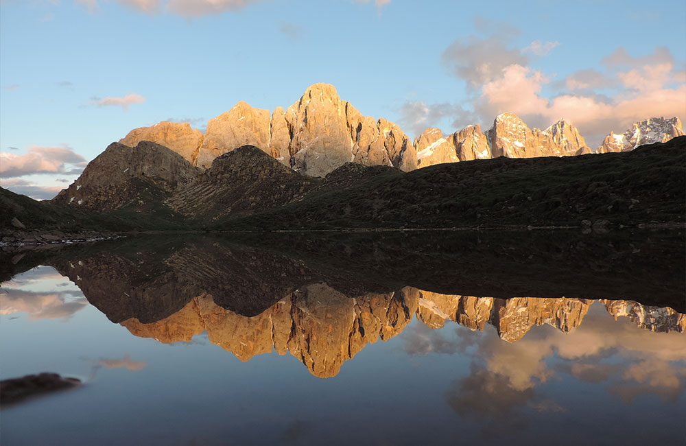
STAGE 3 : MULAZ REFUGE – FLORA ALPINA REFUGE
From the refuge, head along Italian Alpine Club path no. 751 and then follow Italian Alpine Club path no. 774 down to the Costàza pasture (1573 m). The mountain hut here has been turned into a refuge for walkers passing through in the summer, and has been named after Lorenzo Bottari. From here, you can take a sheep track if you wish to conclude your walk at Molìn di Falcade (1184 m). The path continues along the orographic right of the Valés valley and winds its way up and down all the way to the Malga Valés Bas (1711 m) and Malga Valés Alto huts. In this high-altitude valley, you will also find a number of wooden huts once used for keeping straw.
Carry on across the Valles Pass road and take a steep mule track that soon leads to the plain above, on the edge of the woods, where you will find the Casèra de la Caviàza (1877 m) mountain hut. Continue on to the Le Buse Refuge (1895 m), and from here, head in the direction of the Càvia artificial basin (2102 m), where you will immediately come across the Casèra le Buse hut (1910 m), followed by Teàz de le Mande, before you come to Malga dei Zìnghen Alti.
After the basin, the path goes rapidly down towards the San Pellegrino Pass to the Malga Zìnghen Bas alpine hut (1775 m), on the border between the provinces of Belluno and Trento.
The path takes off again up along the Val di Zigolé towards the Malga Boèr alpine hut (1808 m). Continue along the road to the mountain pasture that comes from the San Pellegrino Pass, until the woodland opens out onto the pastures of Fuciàde and Val Freda, where you will find the Flora Alpina Refuge (1818 m).
Here there is a brief round-trip route along easy paths that follow the itinerary to Casoni di Val Freda and then head to the Malga ai Lach alpine hut (1815 m), followed by Malga Bòsch Brusà (1867 m), before continuing along the Val di Forca and meeting back up with the itinerary at Piàn de la Schita.
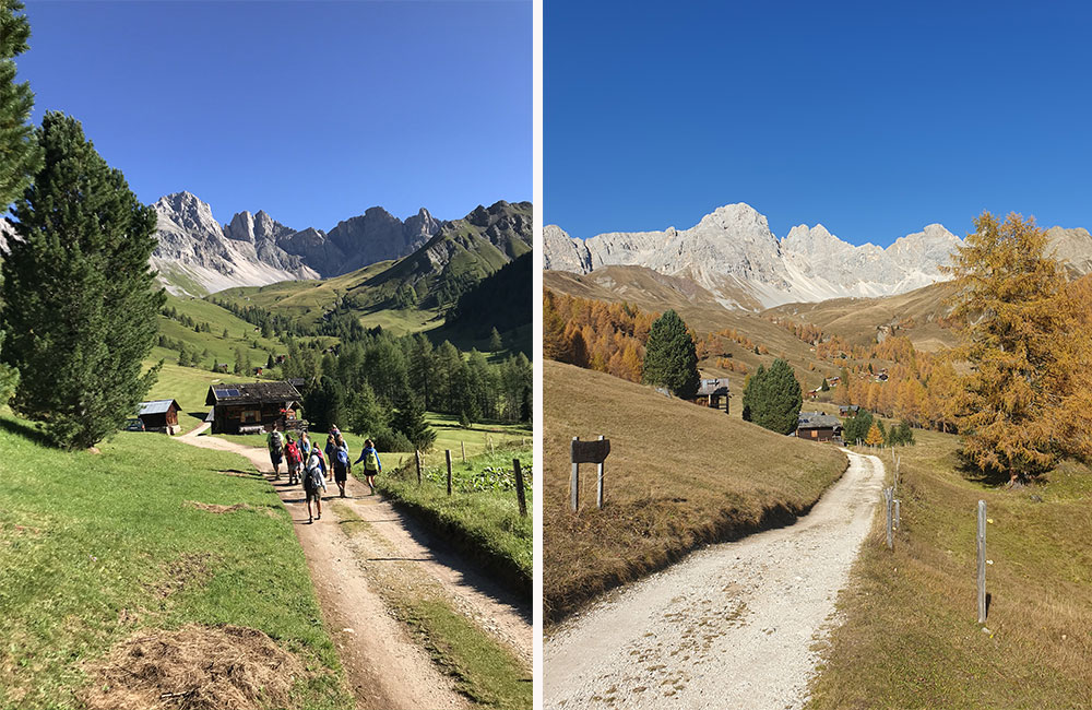
STAGE 4: FLORA ALPINA REFUGE – BAITA DEI CACCIATORI
Once you reach the Flora Alpina Refuge, come off the asphalt road and continue along an easy path to the Casoni di Val Freda. Go up the valley and then Pian de la Schita to Forca Rossa (2490 m), from which you can enjoy marvellous views.
From here, go down along the Val di Franzedàs to the Col Bechèr Pass (2312 m) and on to the Baita Giovanni Paolo I mountain hut (1865 m), or the Baita dei Cacciatori mountain hut (1745 m) below it.
Continue along a path that runs across the high-altitude pastures below the Torri dell’Auta (2624 m) to the Baita di Còl Mónt (1854 m) mountain hut.
The Baita di Còl Mónt and Baita dei Cacciatori mountain huts are departure points for adequately equipped and experienced walkers who wish to climb up to the Cima dell’Auta Orientale peak (2624 m), taking the via ferrata P. Piccolin equipped route or the normal route.
STAGE 6: SASSO BIANCO REFUGE
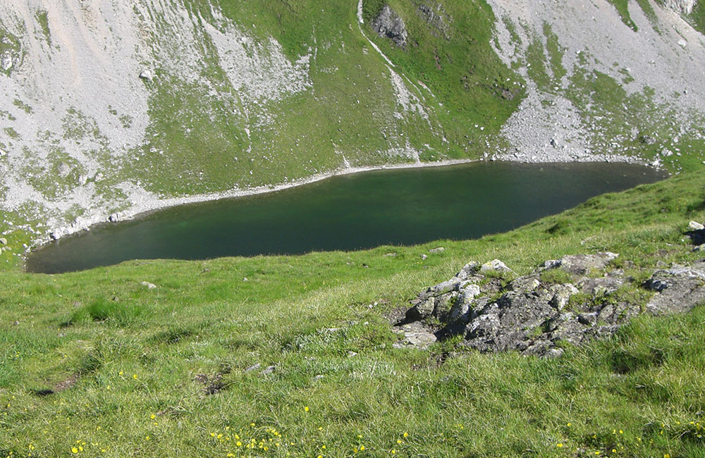
This stage begins by immediately climbing up along Italian Alpine Club path no. 687 to the Forcella Négher saddle (2300 m), from where you can admire views of the delightful Lach d’i Négher lake.
The path then heads down to the Forcella de Franzéi saddle and then back up to the Forcella Pianéza saddle, Italian Alpine Club path no. 684, followed by the Forcella delle Fontàne saddle and along the northern slopes of the Péza mountain group to Casère di Val Bóna (1635 m) and the Forcella Sciòta saddle, via Còl di Sele to complete the Italian Alpine Club path no. 623 at the Sasso Bianco Refuge (1840 m), where you can stop off for something to eat.
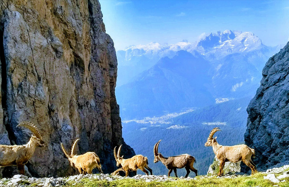
In this remote environment, with marvellous views of the South wall of the Marmolada, you are likely to make frequent encounters with the local wildlife.
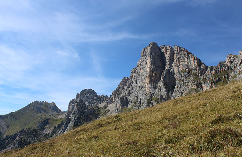
STAGE 6: SASSO BIANCO REFUGE – SAN SIMON
Reachable along the easy Italian Alpine Club path no. 623, and heading downwards, with the NW wall of Monte Civetta remaining opposite, in the direction of the villages of Costóia and Canacéde, in the municipality of San Tomaso, you will come to the Forcella di San Tomaso saddle (1367 m). Walk through the Piàne woods to the end of this itinerary: the Church of San Simón, in the municipality of Vallada.
San Simón, built around the 10th century, is the oldest church in the Alto Agordino area.
The frescoes by Paris Bordon and the splendid architecture make the church especially interesting to art lovers.

TREKKING ITINERARIES – SAN PELLEGRINO AREA
Download the Summer Time San Pellegrino’s brochure
Discover all the trekking itineraries in the San Pellegrino area, which can be tackled on foot or with the help of the lift facilities
ITINERARI TREKKING – AREA PALE DI SAN MARTINO
Itinerary 1– TO THE G. VOLPI AL MULAZ REFUGE
There are three departure points to reach the Refuge.
First departure point – Falcade
From Falcade, near the Eden Campsite in Molino. From Molino, leave your car and cross the Focobon Stream (on the road that leads to the Eden Campsite) and go up along a woodland road that starts out at the end of the asphalt road. Towards the end of the road, on the left, you will see the trail sign no. 722, on which it says: “Rifugio Mulaz“. The path climbs up through the woods along the Focobon Valley, with some steep stretches, to Casera Focobon (1894 m). Turn left here and cross the stream, continuing on up past the foot of the Cime del Focobon. This last stretch of the path is the most challenging, because it is almost all across rock. Go up around the Sasso Arduini until you come to the front moraine of the Focobon glacier, from where you can see the G. Volpi al Mulaz Refuge (2571 m), managed by the alpine guide Sebastiano Zagonel and reachable from here in a further 30 minutes.
Once you reach the refuge, it’s worth making a final effort of about 45 minutes to continue on to the Mulaz peak, where you can ring the bell.
The views in all directions from the peak stretch from the Rhaetian Alps to the Austrian Alps and the highest peaks in the Dolomites: from the Marmolada to the Tre Cime di Lavaredo, Conturines, Civetta, Pelmo and Sassolungo.
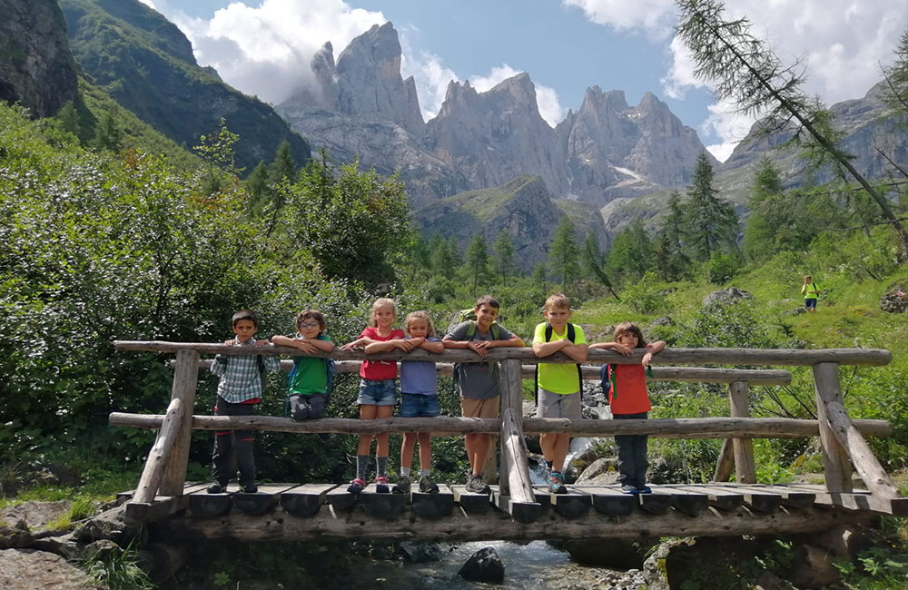
Second departure point – Valles Pass
From the Valles Pass (2032 m). Leave your car in the parking area and head towards path no. 751. It will take you about 40 minutes, along a mainly upward route, to reach the Forcella Venegia saddle. From here, pastureland and mountain grassland will take you to the Fochet Pass, across a last exposed stretch of path equipped with a steel wire for optional assistance. From this large, sunny expanse of grassland dotted with flowers, path no. 751 now moves on to rock and crosses an exposed rocky ridge protected by a metal rope for a stretch of approx. 50 m. From here, the path zigzags up to the G. Volpi al Mulaz Refuge (2571 m) and on to the arrival point of Cima Mulaz.
Valles Pass 2032 m
Rifugio Volpi al Mulaz 2571 m
About 4 hours (one way)
Medium/difficult
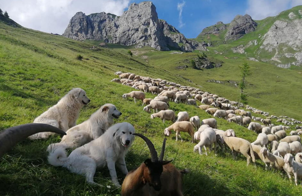
Third departure point – Val Venegia
After you reach Pian dei Casoni across the Valles Pass, go through the tollbooth that leads into the Paneveggio/Pale di San Martino Natural Park. Park near Malga Venegia and walk along a forest road past the Malga Venegiotta alpine hut (1830 m). After about 400 m, turn left and take the path for the Mulaz Refuge. This well beaten and not particularly exposed path is very steep, but with a regular incline, and further on moves onto rock and gravel. From the Mulaz Pass, at an altitude of 2619 m, a rapid descent leads to the G. Volpi al Mulaz Refuge (2571 m) and continues towards the Cima Mulaz peak (2906 metres), where you can finally have a rest and enjoy the fabulous views of the mountaintops..
Malga Venegia 1778 m
G. Volpi al Mulaz Refuge 2571 m
About 4 hours (one way)
Medium/Difficult
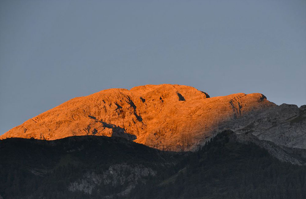
Itinerary 2 – VAL DI GARES – PEDROTTI ALLA ROSETTA REFUGE – CASERA CAMPIGAT
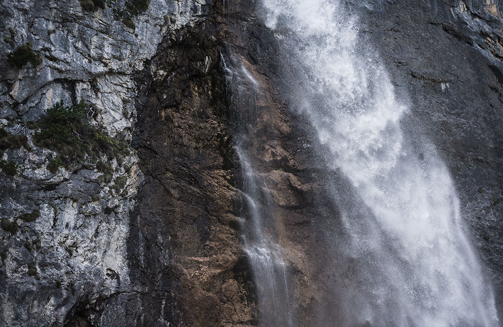
From the Cima Comelle parking area (1333 m), follow path no. 704 to the waterfalls. Cross the Comelle canyon, along an exposed stretch that requires great care, and cross the Comelle valley, climbing gradually up to the Altopiani del Rosetta plateau (over 2300 m), walking over the bare rock to the Pedrotti Refuge, at an altitude of 2581 m. Here, you can enjoy some spectacular, wide-open, Dolomite views of the Pale di San Martino area. You can go back along the same path, or along path no. 761 that crosses Antermarucol, past Casera Campigàt, and leads to the Forcella Cesurette saddle; if you choose this route, there is an exposed stretch that requires particular attention. Continue down path no. 756, which proceeds in a zigzag and requires maximum attention: the ground is slippery because of the limited exposure to the sun. In about an hour, the path leads back to the Cima Comelle parking area.
TREKKING ITINERARIES IN THE MARMOLADA AREA
Itinerary 1 – SAN PELLEGRINO – FORCA ROSSA
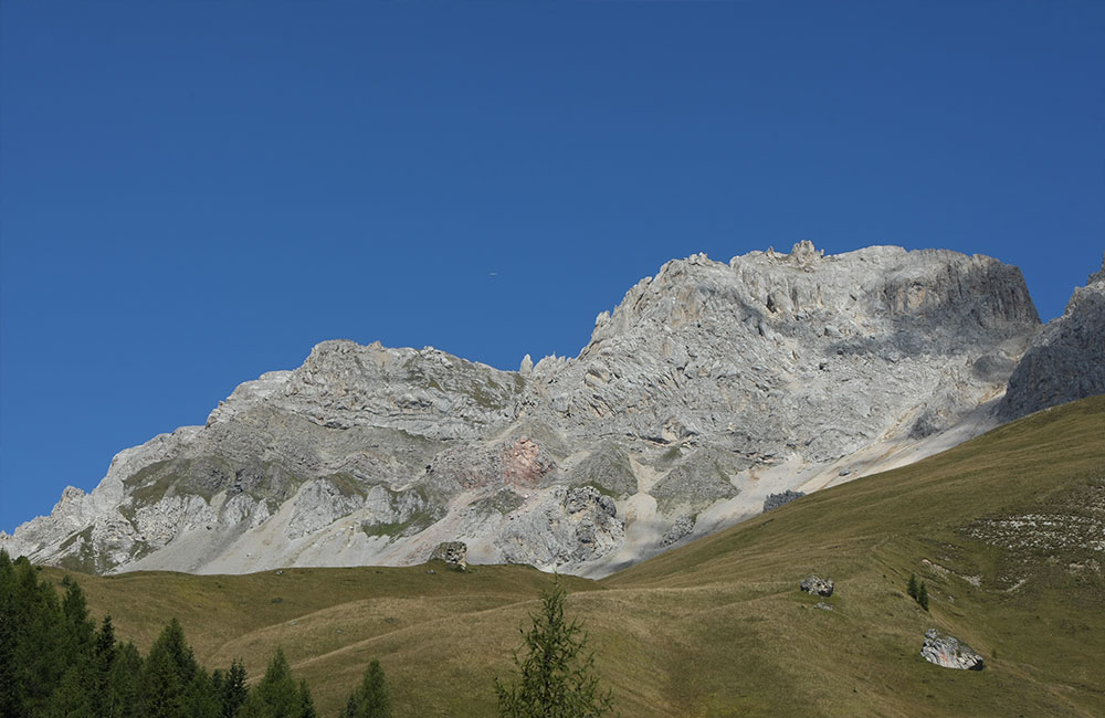
This itinerary starts from the San Pellegrino Pass (1908 m). Walk along the convenient forest road to the Fuciade Refuge. From here, follow path no. 694 across a sunny stretch of open pasture, where you can hear the whistling of the marmots and watch wild horses grazing. Head up along the path marked on the pasture to the Forca Rossa Pass, at an altitude of 2490 m, where you can enjoy an extraordinary wide-open view across the valley below and the eastern part of the Dolomites. You can return along the same path, or if you have a car available, you could go down to the Malga Ciapela alpine hut, or back into the Val del Biois / Falcade through the Col Becher Pass.
Itinerary 2 – COLMEAN – BAITA DEI CACCIATORI
The itinerary begins from the village of Colmean, near Feder, at an altitude of 1300 m, and heads in the direction of the Baita dei Cacciatori mountain hut.
The first part runs along an evenly sloping forest road, with some challenging stretches.
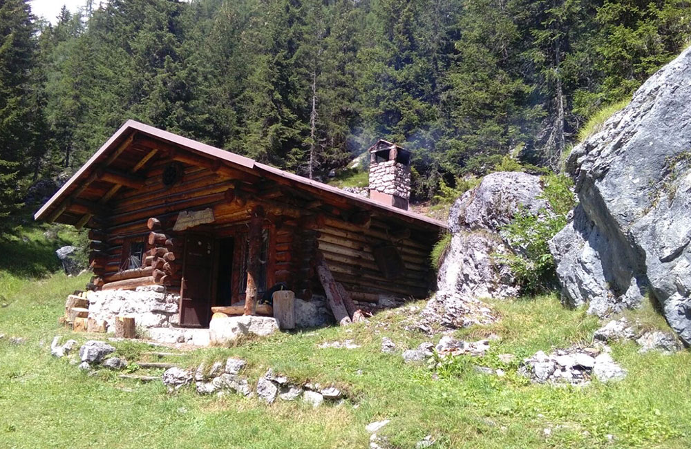
At the end of the cart road, a path begins, near a cableway, that leads to the Baita dei Cacciatori mountain hut, at an altitude of 1746 m (the hut is officially closed to the public). From here, a further little 30-minute effort will take you to the Papa Giovanni Paolo I bivouac at Pian de Pavier (1865 m), a typical open mountain hut.
These two mountain huts are located under the wall of the Cime d’Auta.
Itinerary 3 – LAGAZZON REFUGE – FORCELLA DEI NEGHER SADDLE
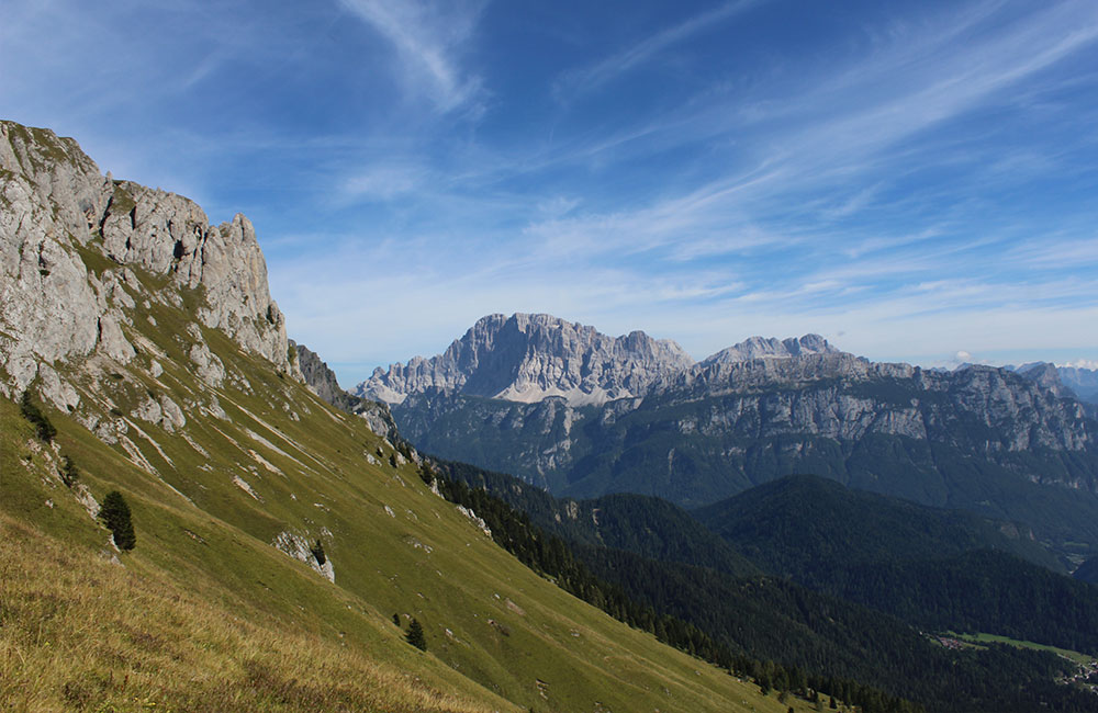
You can start the itinerary from the Lagazzon Refuge, at an altitude of 1356 m, where you can leave your car. From here, follow woodland road no. 687 until you come to the Baita Col Mont mountain hut (1854 m), in a particularly beautiful area with wide-open green spaces and views of Monte Civetta on one side and the Pale di San Martino on the other.
From here, a path leads all the way upwards, accompanied by splendid views, to the Forcella dei Negher saddle, at an altitude of 2286 m, from which the view over the Val del Biois below will take your breath away. Before you make your way back, we suggest going down – it’ll only take a few minutes – to the Lach dei Negher, at an altitude of 2205 m, a lake of glacial origin with distinctive colours.
Itinerary 4 – VIVAIO PICCOLET – BAITA PIANEZZA MOUNTAIN HUT
Drive to Vivaio Picolet (1300 m), past the Forcella Lagazzon saddle. From here, go up along a steep forest road that runs through the woods, after which, near a spring, the road turns into a steep path until the end of the woods, from where you can get a first glimpse of the Baita Pianezza mountain hut, a bivouac belonging to the local council, at an altitude of 1665 m. Near the hut is a source of cool, fresh water. The braver among you may like to continue on towards the Forcella Pianezza saddle (2044 m) and on in the direction of Sottoguda.
Itinerary 5 – SELLE PASS
Leave your car at the San Pellegrino Pass (1900 m), at the departure station of the Costabella chairlift.
Take trail sign no. 604 through a forest road that goes past the Paradiso Refuge.
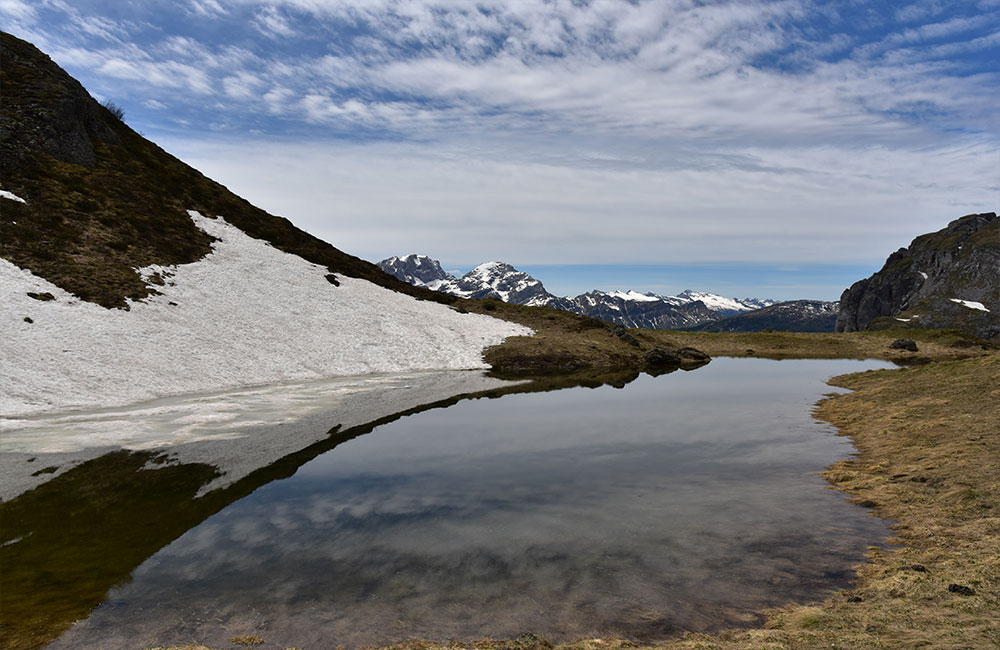
The road becomes a path and continues through pastures and fields, and you will gradually notice the Passo Selle Refuge in the distance (2530 m). Once you reach the refuge, we suggest you go and take a look at the WWI trenches of the Austro-Hungarian army nearby. On the way back, take a turn off to the right, passing by Sas del Musc and the Campagnaccia Lake, and go down a wartime mule track back again to the parking area. To end the day, we suggest crossing the road and visiting the typical little mountain lake of San Pellegrino.
Itinerary 6 – JURIBRUTTO ROUND-TRIP TREKKING ROUTE
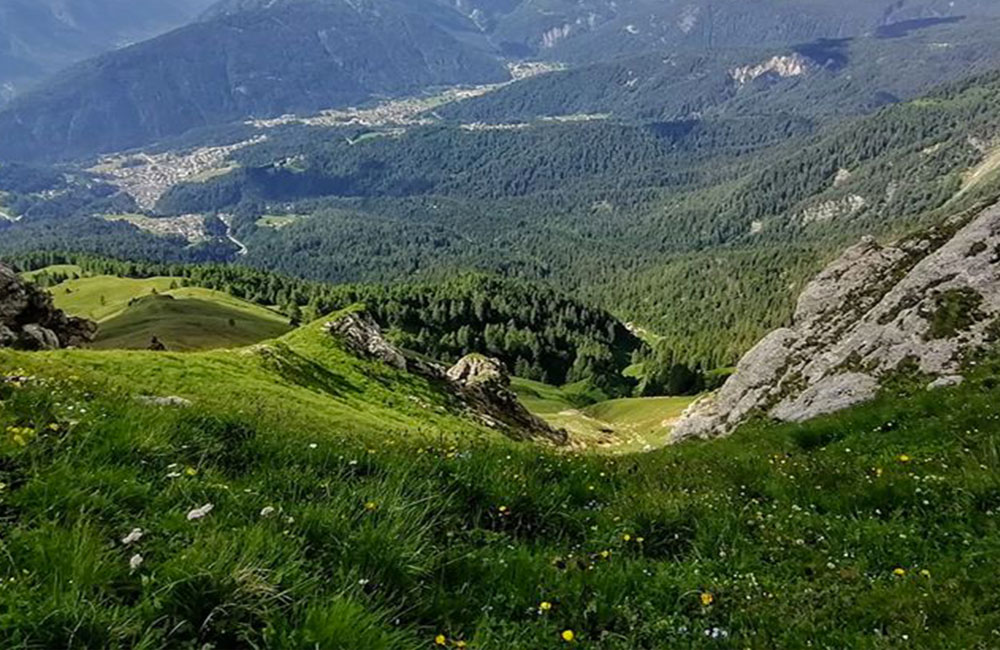
Start out from the Malga Vallazza 1935 m alpine hut (1 km after the Valles Pass), and continue along the wartime mule track no. 631 to the little Juribrutto Lake, at an altitude of 2206 m, one of the numerous little lakes of glacial origin in the area, with others including the Bocche, Lusia and Bronton lakes.
From the Juribrutto Lake, take path no. 629 to Malga Juribrutto (1912 m), then make your way back to the Malga Vallazza alpine hut along the wartime mule track marked with trail sign no. 623.
This route makes its way through the Paneveggio-Pale di San Martino Natural Park, amid tall Cimbran pine trees, typical of high-altitude areas and soil of volcanic origin.